Start with the map’s purpose and age
A lake map is most useful when you know what it was made to show. A recreation map may highlight launches, beaches, trails and picnic areas. A nautical chart may give more attention to depths, markers and navigation features. Neither tells the whole story. Before tracing a route, read the title, legend, scale and any notes about when the map was made or updated. Check what its symbols mean rather than assuming that a dashed line, colored area or small icon has a familiar meaning.
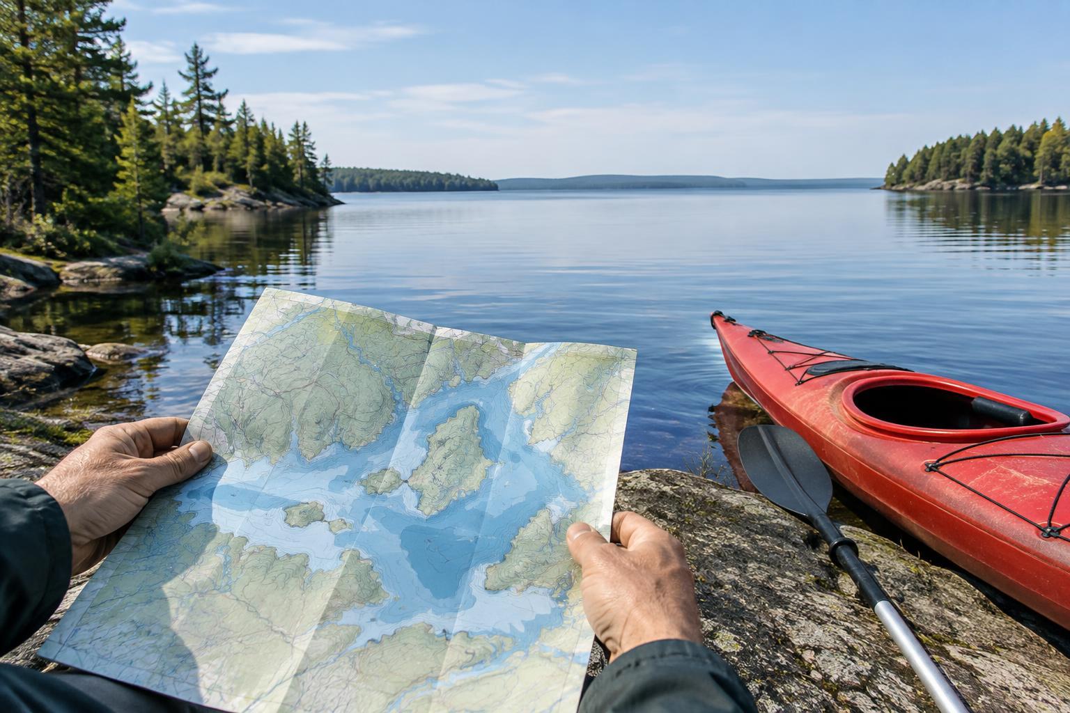
Notice what the map leaves out, too. A printed brochure might be easy to carry but lack detail around a narrow channel. A phone map may let you zoom in but become hard to use without service or battery power. For a paddle or small-boat trip, consider carrying a saved or paper copy that you can consult on the water. Treat it as a planning tool, not a live report: water levels, floating debris, temporary closures and conditions at a launch can change.
Turn the shoreline into a manageable route
Find your intended launch first, then identify a clear destination or turnaround point. Use the map’s scale to estimate the distance along the route you would actually travel, not just a straight line across open water. A sheltered-looking cove may take longer to reach if you follow the shoreline around a point. For a relaxed outing, it can help to choose a shorter route with the option to turn back early rather than making a distant landmark the only satisfying finish.
Study the shape of the shore between your start and turnaround. Points, islands and inlets can be useful landmarks, but similar-looking coves can also make it easy to misjudge your position. Note a few distinctive features in sequence, such as a bridge followed by a prominent point. Mark possible places to pause or return to shore, while remembering that a beach or dock shown on a map is not necessarily public or suitable for landing. Check access information before counting on a stop.
Look for depth changes and potential trouble spots
If your map shows depth contours or soundings, use them to build a general picture of the lake bottom. Closely spaced contour lines indicate a steeper change in depth; wider spacing suggests a more gradual slope. Shallow areas, submerged points and narrow passages deserve a closer look, particularly for a motorboat with a deeper draft. For paddlers, those same features may affect where waves break or where a route becomes awkward at a lower water level.
Read hazard symbols and labels carefully. Maps may identify rocks, stumps, dams, restricted areas or channels, but an unmarked area is not a promise of clear water. Keep extra space around uncertain shallows and fixed structures, and follow any posted markers and local rules you encounter. If a passage looks too tight or confusing on the map, choose a simpler route rather than relying on a close-up view of the screen to resolve it once you arrive.
Plan for exposure, not just distance
A short crossing can feel very different from a longer trip tucked along a protected shore. Look for broad stretches of open water where wind has room to build waves, as well as points you may need to round. Bridges and narrow gaps can also make conditions feel different from those at the launch. The map helps you recognize these places in advance, but it cannot predict how they will feel on the day.
Before departure, check the forecast and observe the water at the launch. If conditions exceed your group’s comfort or equipment, change the route or postpone the outing. Plan enough time and energy for the return, which may be slower than the outward leg. Share your intended route and expected return with someone staying ashore, and bring the safety equipment appropriate to your craft and local requirements.
Make a simple map check part of every outing
You do not need to memorize every symbol to benefit from a lake map. Before leaving, be able to point to your launch, planned route, turnaround, prominent landmarks and at least one practical way to shorten the trip. Confirm where you are allowed to launch and whether any sections have access or boating restrictions. Keep the map available rather than buried beneath other gear.
Once underway, compare the shoreline you see with the features you expected. If they do not match, slow down and work out your position before continuing. A good map plan leaves room to adapt: the aim is not to complete a line drawn at home, but to enjoy the lake while making clear, unhurried decisions.