A mountain lake with a different kind of shoreline
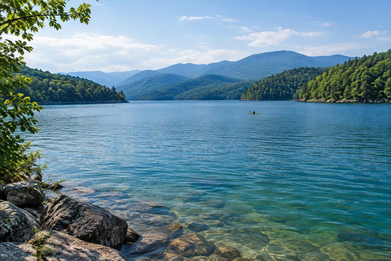
Lake Jocassee sits in the foothills of South Carolina’s Blue Ridge Mountains. Steep, wooded slopes reach down to the water, giving the lake a sheltered feel even when you are looking across a wide stretch of it. This is a place to slow down and notice the shape of the landscape: coves tucked between ridges, changes in light along the shore, and streams making their way toward the lake.
Jocassee is a reservoir, yet much of its shoreline feels quieter than that of a lake lined with roads and buildings. Surrounding protected land helps preserve that impression. It also changes how you plan a visit. You cannot assume there will be a road, trail, or beach at every promising spot you see on a map. Think of the shoreline as something to explore from a few established access points, rather than a continuous route you can follow on foot.
Start with public access, then choose your pace
Devils Fork State Park is the main public gateway to Lake Jocassee. It is a sensible starting point for first-time visitors who want to get oriented, spend time near the water, or launch a boat. Before leaving home, check the park’s current information for entry, parking, launch facilities, and any rules that affect your plans. Arriving with a simple outline for the day makes it easier to enjoy the setting rather than spend your first hour sorting out logistics.
You do not need to cover a great distance to have a worthwhile visit. A relaxed lakeside day might include a short walk, a picnic, and time watching boats cross the open water. If you want to see coves or parts of the shoreline beyond the park, a boat tour, rental, or your own properly equipped craft may open up more options. Match the outing to your experience and the conditions, not to a list of places you feel obliged to reach.
What changes when you explore from the water
From a boat or kayak, Jocassee’s shoreline reveals details that are easy to miss from land. Ridges can make nearby coves look alike, while narrow inlets may lead toward rocky banks or places where streams enter the lake. Waterfalls are part of Jocassee’s appeal, but reaching one may require a boat, and its appearance can vary with rainfall and lake conditions. Treat a waterfall stop as a possibility to plan for, not a guaranteed feature of every outing.
If you paddle, choose a modest route with a clear return plan. Wind and weather can change the character of open water, and a crossing that looks short from shore may feel longer once you are underway. Wear an appropriate life jacket, carry drinking water, and let someone know your route. A map or reliable navigation aid can help you identify your launch point again; do not rely on recognizing one wooded cove from another. Give other water users room, especially near launches and busy areas.
Enjoying the edge of the lake responsibly
A quiet shoreline is one of Jocassee’s strengths, and it is worth treating carefully. Use established access areas and respect posted restrictions and private property. When you stop along the water, avoid trampling plants or leaving food scraps behind. Pack out everything you bring, even on a brief visit. If you are hoping to swim, look for areas where it is permitted and assess the water and weather before getting in; conditions away from shore may not be obvious at first glance.
For a comfortable weekend, keep your plans flexible. Bring layers for a cool morning or a breezy ride, shoes that can handle uneven ground, sun protection, and a dry place for essentials. If photography is part of the trip, early or late light can bring out the contours of the surrounding hills, but a cloudy day can be just as good for noticing reflections and small shoreline details. Lake Jocassee does not demand a packed itinerary. Give yourself time to learn where land and water meet, and let that shape the day.